2014
NT3549 : The B709 in the valley of the Dewar Burn
taken 9 years ago, near to Dewar, Scottish Borders, Scotland
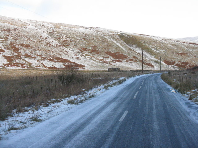
The B709 in the valley of the Dewar Burn
Looking north towards Heriot and the A7, with the slopes of Garvald Law on the left.
 Map © Crown Copyright")
TIP: Click the map for more Large scale mapping
- Grid Square
- NT3549, 13 images (more nearby 🔍)
- Photographer
- M J Richardson (more nearby)
- Date Taken
- Monday, 8 December, 2014 (more nearby)
- Submitted
- Tuesday, 9 December, 2014
- Subject Location
-
OSGB36:
 NT 3508 4988 [10m precision]
WGS84: 55:44.2764N 3:2.1296W - Camera Location
-
OSGB36: NT 3507 4978
- View Direction
- NORTH (about 0 degrees)