2014
SP2224 : Farmland near Ash Farm
taken 9 years ago, near to Upper Oddington, Gloucestershire, England
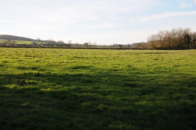
Farmland near Ash Farm
Low lying farmland to the east of Stow-on-the-Wold.
 Map © Crown Copyright")
TIP: Click the map for more Large scale mapping
- Grid Square
- SP2224, 12 images (more nearby 🔍)
- Photographer
- Philip Halling (more nearby)
- Date Taken
- Saturday, 6 December, 2014 (more nearby)
- Submitted
- Thursday, 11 December, 2014
- Subject Location
-
OSGB36:
 SP 2201 2439 [10m precision]
WGS84: 51:55.0563N 1:40.8837W - Camera Location
-
OSGB36: SP 2205 2439
- View Direction
- WEST (about 270 degrees)