2014
SK1876 : Ruined barn above Silly Dale
taken 9 years ago, near to Grindlow, Derbyshire, England
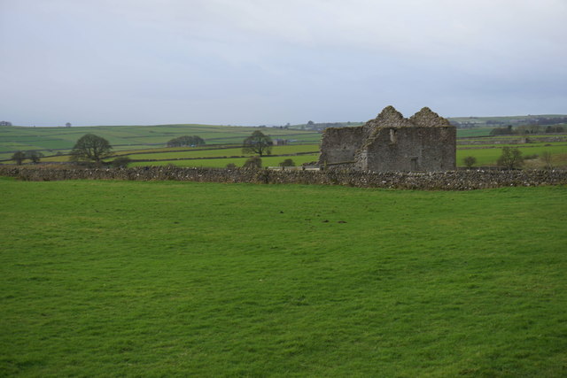
Ruined barn above Silly Dale
The small dale is out of sight from here behind the barn.
 Map © Crown Copyright")
TIP: Click the map for more Large scale mapping
- Grid Square
- SK1876, 47 images (more nearby 🔍)
- Photographer
- Bill Boaden (more nearby)
- Date Taken
- Thursday, 11 December, 2014 (more nearby)
- Submitted
- Saturday, 13 December, 2014
- Subject Location
-
OSGB36:
 SK 1838 7682 [10m precision]
WGS84: 53:17.2819N 1:43.5452W - Camera Location
-
OSGB36: SK 1844 7684
- View Direction
- West-southwest (about 247 degrees)