2014
NH7905 : Allt na Baranachd
taken 9 years ago, 4 km W of Kincraig, Highland, Scotland
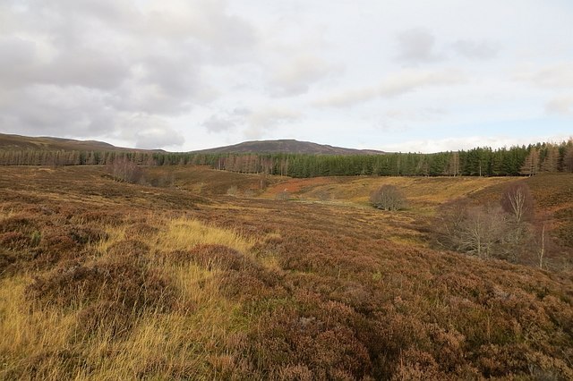
Allt na Baranachd
A line of trees beside the burn in otherwise open heather moorland.
 Map © Crown Copyright")
TIP: Click the map for more Large scale mapping
- Grid Square
- NH7905, 7 images (more nearby 🔍)
- Photographer
- Richard Webb (more nearby)
- Date Taken
- Friday, 21 November, 2014 (more nearby)
- Submitted
- Sunday, 14 December, 2014
- Subject Location
-
OSGB36:
 NH 7952 0585 [10m precision]
WGS84: 57:7.6635N 3:59.5105W - Camera Location
-
OSGB36: NH 7953 0576
- View Direction
- NORTH (about 0 degrees)