2014

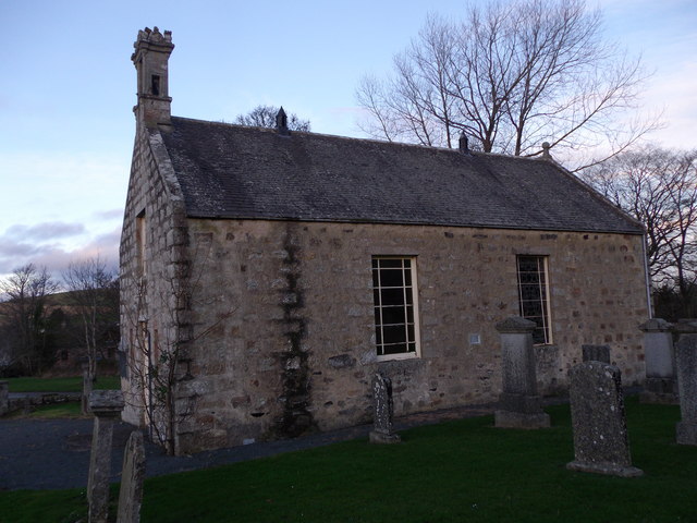
NJ5924 : Leslie kirk: south elevation

taken 9 years ago, near to Leslie, Aberdeenshire, Scotland

Leslie kirk: south elevation
As seen from the Kirkyard. For the building's history, see LinkExternal link

Creative Commons Licence [Some Rights Reserved]   © Copyright Stanley Howe and licensed for reuse under this Creative Commons Licence.
Geographical Context: Village, Rural settlement Religious sites Place: Leslie Postcode Area: AB54 Primary Subject: Church other tags: Kirk Kirkyard Click a tag, to view other nearby images.
This photo is linked from: Automatic Clusters: · Leslie Kirk [11] · Elevation [2] · South [2] ·
1:50,000 Modern Day Landranger(TM) Map © Crown Copyright
+
+
1:50,000 Modern Day Landranger(TM) Map © Crown Copyright
TIP: Click the map for more Large scale mapping
Grid Square
NJ5924, 31 images   (more nearby 🔍)
Photographer
Stanley Howe   (more nearby)
Date Taken
Saturday, 6 December, 2014   (more nearby)
Submitted
Friday, 2 January, 2015
Subject Location
OSGB36: geotagged! NJ 5978 2464 [10m precision]
WGS84: 57:18.6331N 2:40.1569W
Camera Location
OSGB36: geotagged! NJ 5978 2463
View Direction
NORTH (about 0 degrees)
Clickable map
+
NW N NE
W Go E
SW S SE
Image classification(about): Geograph
This page has been viewed about 158 times
You are not logged in login | register