2007
NN9343 : Ballinloan Burn near forest edge
taken 17 years ago, 3 km from Scotston, Perth And Kinross, Scotland
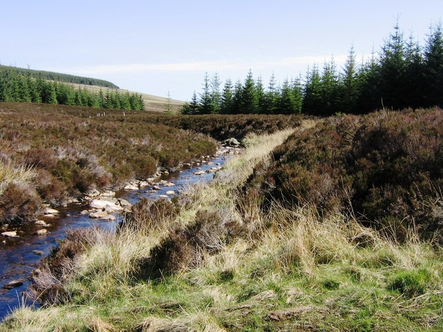
Ballinloan Burn near forest edge
Taken looking downstream on the Ballinloan Burn close to the point where it emerges from the forest
 Map © Crown Copyright")
TIP: Click the map for more Large scale mapping
- Grid Square
- NN9343, 5 images (more nearby 🔍)
- Photographer
- Robert Bone (more nearby)
- Date Taken
- Friday, 27 April, 2007 (more nearby)
- Submitted
- Friday, 11 May, 2007
- Subject Location
-
OSGB36:
 NN 935 436 [100m precision]
WGS84: 56:34.3394N 3:44.0398W - Camera Location
-
OSGB36: NN 934 436
- View Direction
- East-southeast (about 112 degrees)