2014
NM9440 : Junction on track through the forest
taken 9 years ago, near to Rhugarbh, Argyll And Bute, Scotland
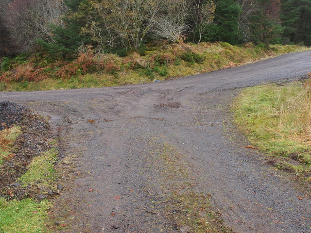
Junction on track through the forest
Just off the track up from the Sand pit car park in Barcaldine forest this junction marks the point where the track splits off to the right leads over to Doilet Wood and the track behind leads off towards the area containing the standing stones.
 Map © Crown Copyright")
TIP: Click the map for more Large scale mapping
- Grid Square
- NM9440, 9 images (more nearby 🔍)
- Photographer
- Steve Houldsworth (more nearby)
- Date Taken
- Friday, 31 October, 2014 (more nearby)
- Submitted
- Monday, 5 January, 2015
- Subject Location
-
OSGB36:
 NM 9472 4002 [10m precision]
WGS84: 56:30.4392N 5:20.2503W - Camera Location
-
OSGB36: NM 9475 4005
- View Direction
- Southwest (about 225 degrees)