2015
NH3524 : Track to Loch na Stac
taken 9 years ago, near to Sliabh an Ruighe Dhuibh [hill or Mountain], Highland, Great Britain
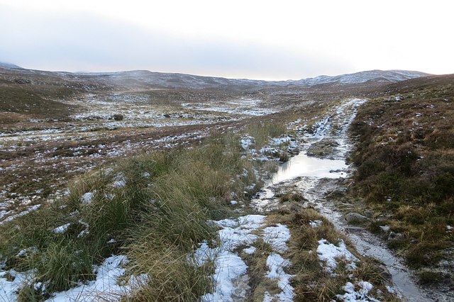
Track to Loch na Stac
For some reason, best known to themselves, the Ordnance Survey has chosen to remove about 800m of this rather obvious track from their maps. I was using a seriously outdated 1990s map so expected the track. The track does vanish briefly in an outwash plain upstream but the OS were happy to mark that genuinely missing bit on their current maps.
Vast moorland plateau between Affic and the Great Glen.
Vast moorland plateau between Affic and the Great Glen.
 Map © Crown Copyright")
TIP: Click the map for more Large scale mapping
- Grid Square
- NH3524, 8 images (more nearby 🔍)
- Photographer
- Richard Webb (more nearby)
- Date Taken
- Sunday, 4 January, 2015 (more nearby)
- Submitted
- Wednesday, 7 January, 2015
- Subject Location
-
OSGB36:
 NH 3544 2491 [10m precision]
WGS84: 57:17.1046N 4:43.9080W - Camera Location
-
OSGB36: NH 3545 2493
- View Direction
- South-southwest (about 202 degrees)