2015
SU2910 : Emery Down, right of way
taken 9 years ago, near to Emery Down, Hampshire, England
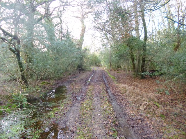
Emery Down, right of way
From the road to Emery Down, to Mill Pond. Rights of way are not shown in the New Forest area if they are on Crown land; this track is probably in the old Manor of Minstead.
 Map © Crown Copyright")
TIP: Click the map for more Large scale mapping
- Grid Square
- SU2910, 24 images (more nearby 🔍)
- Photographer
- Mike Faherty (more nearby)
- Date Taken
- Friday, 9 January, 2015 (more nearby)
- Submitted
- Friday, 9 January, 2015
- Subject Location
-
OSGB36:
 SU 2965 1001 [10m precision]
WGS84: 50:53.3292N 1:34.7904W - Camera Location
-
OSGB36: SU 2965 1001
- View Direction
- WEST (about 270 degrees)