2015
SK5815 : Flooded fields next to Slash Lane
taken 9 years ago, near to Mountsorrel, Leicestershire, England
This is 1 of 2 images, with title Flooded fields next to Slash Lane in this square
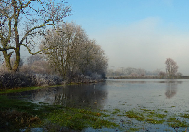
Flooded fields next to Slash Lane
This area is notorious for flooding, it is usually one of the first places in Leicestershire to flood.
 Map © Crown Copyright")
TIP: Click the map for more Large scale mapping
- Grid Square
- SK5815, 119 images (more nearby 🔍)
- Photographer
- Mat Fascione (more nearby)
- Date Taken
- Sunday, 4 January, 2015 (more nearby)
- Submitted
- Sunday, 11 January, 2015
- Subject Location
-
OSGB36:
 SK 589 155 [100m precision]
WGS84: 52:44.0790N 1:7.6948W - Camera Location
-
OSGB36: SK 589 154
- View Direction
- North-northeast (about 22 degrees)