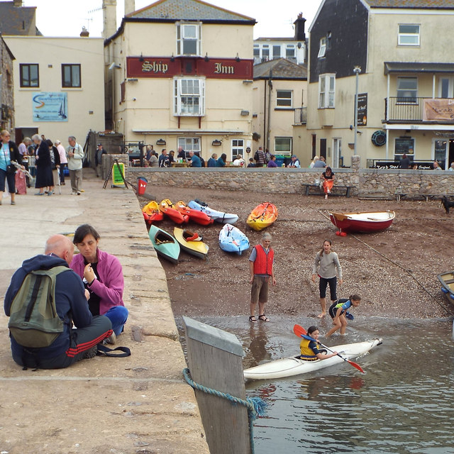
SX9372 : Canoe lesson by the New Quay, Teignmouth
taken 10 years ago, near to Teignmouth, Devon, England
Following the success of the Shaldon and Ringmore tidal flood defence scheme across the river, the Environment Agency and its contractor Interserve are implementing a site-specific scheme for Teignmouth's back beach (officially the river beach). Here, high tides exacerbated by strong winds can cause flooding to the residential properties and businesses along the beach and the lanes that lead to it.
The scheme was announced in December 2011 LinkThe different conditions compared to Shaldon require flood walls, doors and windows to be constructed at the face of the affected buildings. The appearance is not pretty but the work will protect these properties especially in future if sea levels rise. Another element of the scheme is to re-engineer a storm water holding tank and the deck covering it by Gales Hill, a minor access along the waterfront north of the New Quay Inn. It is believed that measures will also be taken to minimise the risk of pollution reaching the river.
The limited extent of the works, compared to the Shaldon and Ringmore scheme, means that they must all be undertaken simultaneously. Every effort has been made to reduce disruption to businesses, residents and the public.
 Map © Crown Copyright")
- Grid Square
- SX9372, 1928 images (more nearby 🔍)
- Photographer
- Robin Stott (more nearby)
- Date Taken
- Saturday, 13 September, 2014 (more nearby)
- Submitted
- Monday, 12 January, 2015
- Subject Location
-
OSGB36:
 SX 9390 7269 [10m precision]
WGS84: 50:32.6592N 3:29.9267W - Camera Location
-
OSGB36: SX 9388 7269
- View Direction
- East-southeast (about 112 degrees)