SK5680 : Cottages at Haggonfields Lock
taken 9 years ago, near to Rhodesia, Nottinghamshire, England
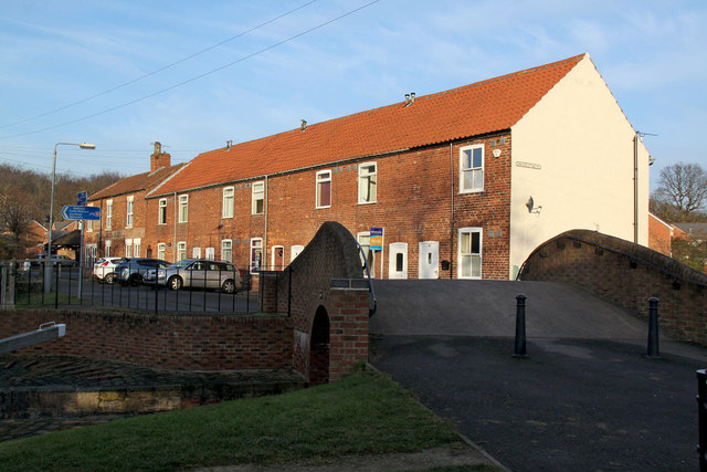
The Chesterfield Canal is a 46-mile-long navigable channel from the Derbyshire town of Chesterfield to the River Trent, passing through Staveley, Shireoaks, Worksop and Retford. The sections between West Stockwith junction on the Trent and Kiveton Park near Rotherham and from Staveley to just short of Chesterfield are navigable. The 10 miles from Norwood tunnel to Staveley are disused, Norwood tunnel has partly collapsed. The Chesterfield Canal trust plan to restore this section, but it requires a major diversion around Killamarsh.
The route is a typical James Brindley contour canal. An application was made to Parliament and the Act of Parliament received the Royal Assent on 28 March 1771. The canal was a success when it opened in 1777, however the Manchester, Sheffield and Lincolnshire Railway opened a parallel line in 1849. The last commercial traffic was in 1908.
 Map © Crown Copyright")
- Grid Square
- SK5680, 96 images (more nearby 🔍)
- Photographer
- Alan Murray-Rust (more nearby)
- Date Taken
- Tuesday, 20 January, 2015 (more nearby)
- Submitted
- Monday, 26 January, 2015
- Subject Location
-
OSGB36:
 SK 5667 8023 [10m precision]
WGS84: 53:18.9587N 1:9.0495W - Camera Location
-
OSGB36: SK 5665 8021
- View Direction
- Northeast (about 45 degrees)