2014
SO7098 : Linley Station
taken 10 years ago, near to Nordley, Shropshire, England
This is 1 of 2 images, with title Linley Station in this square
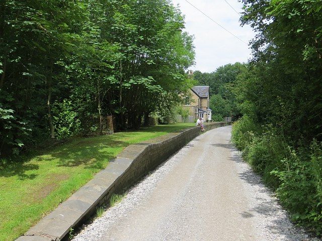
Linley Station
Closed, along with the railway in 1963, one of the many casualties of the closures which preceded Dr Beeching.
 Map © Crown Copyright")
TIP: Click the map for more Large scale mapping
- Grid Square
- SO7098, 29 images (more nearby 🔍)
- Photographer
- Richard Webb (more nearby)
- Date Taken
- Monday, 30 June, 2014 (more nearby)
- Submitted
- Friday, 30 January, 2015
- Subject Location
-
OSGB36:
 SO 7047 9841 [10m precision]
WGS84: 52:34.9614N 2:26.2351W - Camera Location
-
OSGB36: SO 7051 9830
- View Direction
- North-northwest (about 337 degrees)