2014
TG1407 : B1108
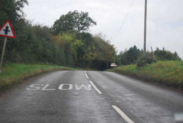
taken 10 years ago, near to Marlingford, Norfolk, England
This is 1 of 2 images, with title B1108 in this square
B1108
The western end of the B1108 is at Bodney (on the A1065). The road skirts the northern end of the danger area to reach Threxton Hill where it rejoins its original route.
Kimberley Level Crossing
The next town is Watton, where it crosses the A1075. For many years the B1077 also passed through the town but recently it has been cut short and now meets the B1108 a couple of miles to the east. The B1108 continues through Hingham and Kimberley, where it crosses the preserved Mid-Norfolk Railway at a level crossing.
After Barford, the B1108 crosses the A47 Norwich bypass and then heads into the centre of town. It ends on the A147 inner ring road. 26 miles in total.
See other images of B1108 Road
 Map © Crown Copyright")
TIP: Click the map for more Large scale mapping
- Grid Square
- TG1407, 35 images (more nearby 🔍)
- Photographer
- N Chadwick (more nearby)
- Date Taken
- Sunday, 19 October, 2014 (more nearby)
- Submitted
- Wednesday, 4 February, 2015
- Subject Location
-
OSGB36:
 TG 1411 0763 [10m precision]
WGS84: 52:37.4512N 1:9.7148E - Camera Location
-
OSGB36: TG 1414 0764
- View Direction
- West-southwest (about 247 degrees)