2015
SE0722 : Moor End Lane
taken 9 years ago, near to Sowerby Bridge, Calderdale, England
This is 1 of 3 images, with title starting with Moor End Lane in this square
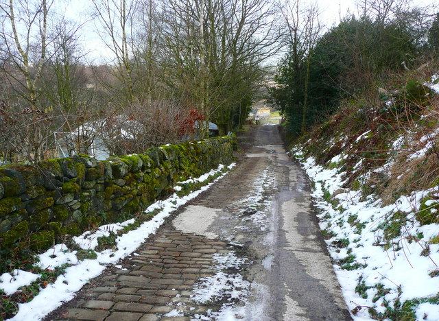
Moor End Lane
This old lane is surfaced with stone setts, patched with concrete. It is a public bridleway (Sowerby bridge 81) leading to Hollas Lane, and also a street, presumably privately maintained.
 Map © Crown Copyright")
TIP: Click the map for more Large scale mapping
- Grid Square
- SE0722, 247 images (more nearby 🔍)
- Photographer
- Humphrey Bolton (more nearby)
- Date Taken
- Monday, 2 February, 2015 (more nearby)
- Submitted
- Sunday, 8 February, 2015
- Subject Location
-
OSGB36:
 SE 0720 2272 [10m precision]
WGS84: 53:42.0520N 1:53.5452W - Camera Location
-
OSGB36: SE 0720 2272
- View Direction
- EAST (about 90 degrees)