SE0722 : Stile on Sowerby Bridge FP83
taken 9 years ago, near to Sowerby Bridge, Calderdale, England
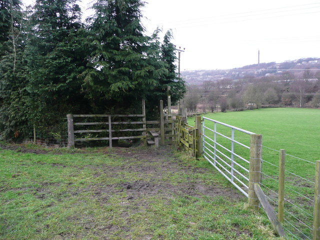
This path has two branches at the western (Binn Royd track) end, and is shown on the 1850 six-inch map. The northern branch starts in Norland and leaves the track to go over a stile hemmed in by a tall conifer hedge. This is Sowerby bridge FP83. It goes across pasture to a footbridge over Maple Dean Clough, where it crosses into Greetland and becomes Elland FP01. The 1850 map has the caption 'Ford' here. It then climbs up a grass slope to meet the other branch, which starts through a field gate and crosses the stream by a ford. There is a better place to cross a short distance upstream. On the left, near to the gate, there is a stone, captioned on large-scale OS maps, inscribed 'F9'. The stone looks like an old gate post, possibly re-used. The path climbs up a grass slope and looks in places as if it was terraced for carts. It is very wet just before meeting the other branch.
The path goes through a narrow gateway into a walled lane and continues through a holly tunnel. There are some very muddy sections. The lane goes to Tinker Hey, but the southern part is fenced off, disused and overgrown. This might have been the original access to the farm before North Dean Road was constructed; Tinker Hey is a 17C house but the farmstead could be much older. A stile on the east side leads to a path along the edge of a pasture field. There is then a series of stile of the stone squeeze type until stone steps are reached climbing up the North Dean Road.
This path appears to be well-used, and a jogger passed me whilst I walked it. This was in winter and the muddy and wet sections might not be so bad at other times of year.
 Map © Crown Copyright")
- Grid Square
- SE0722, 247 images (more nearby 🔍)
- Photographer
- Humphrey Bolton (more nearby)
- Date Taken
- Monday, 26 January, 2015 (more nearby)
- Submitted
- Monday, 9 February, 2015
- Subject Location
-
OSGB36:
 SE 0784 2271 [10m precision]
WGS84: 53:42.0461N 1:52.9636W - Camera Location
-
OSGB36: SE 0784 2271
- View Direction
- North-northwest (about 337 degrees)