2015
SN6101 : Reduce speed now, Pontlliw
taken 9 years ago, near to Pontlliw, Swansea/Abertawe, Wales
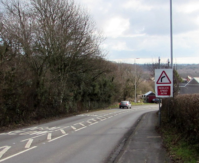
Reduce speed now, Pontlliw
The A48 Bryntirion Road approaches a bend on the descent towards houses in Pontlliw.
 Map © Crown Copyright")
TIP: Click the map for more Large scale mapping
- Grid Square
- SN6101, 31 images (more nearby 🔍)
- Photographer
- Jaggery (more nearby)
- Date Taken
- Saturday, 14 February, 2015 (more nearby)
- Submitted
- Sunday, 15 February, 2015
- Subject Location
-
OSGB36:
 SN 6110 0174 [10m precision]
WGS84: 51:41.8302N 4:0.6716W - Camera Location
-
OSGB36: SN 6107 0178
- View Direction
- Southeast (about 135 degrees)