2014
SY9684 : National Cycle Route 2, Wytch Heath
taken 9 years ago, 3 km from Norden, Dorset, England
This is 1 of 2 images, with title National Cycle Route 2, Wytch Heath in this square
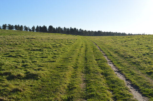
National Cycle Route 2, Wytch Heath
National Route 2 will link Dover with St. Austell when complete via the south coast of England and is sometimes referred to as the South Coast Cycle Route.
The route is only fully open, at present, and signed between Dover and Brighton, but is still under development between Brighton and St. Austell.
See other images of National Cycle Network Route 2
The route is only fully open, at present, and signed between Dover and Brighton, but is still under development between Brighton and St. Austell.
See other images of National Cycle Network Route 2
 Map © Crown Copyright")
TIP: Click the map for more Large scale mapping
- Grid Square
- SY9684, 46 images (more nearby 🔍)
- Photographer
- N Chadwick (more nearby)
- Date Taken
- Sunday, 28 December, 2014 (more nearby)
- Submitted
- Sunday, 22 February, 2015
- Subject Location
-
OSGB36:
 SY 9683 8459 [10m precision]
WGS84: 50:39.6585N 2:2.7727W - Camera Location
-
OSGB36: SY 9682 8461
- View Direction
- South-southeast (about 157 degrees)