2015
TQ1810 : Path alongside A283
taken 9 years ago, near to Bramber, West Sussex, England
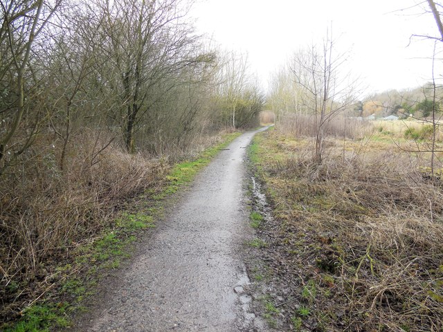
Path alongside A283
Part of the Downs Link at Bramber
 Map © Crown Copyright")
TIP: Click the map for more Large scale mapping
- Grid Square
- TQ1810, 209 images (more nearby 🔍)
- Photographer
- Paul Gillett (more nearby)
- Date Taken
- Monday, 23 February, 2015 (more nearby)
- Submitted
- Monday, 23 February, 2015
- Subject Location
-
OSGB36:
 TQ 1877 1031 [10m precision]
WGS84: 50:52.8052N 0:18.7863W - Camera Location
-
OSGB36: TQ 18805 10271
- View Direction
- Northwest (about 315 degrees)