2014
HY4800 : Lamb Holm Island Summit
taken 10 years ago, near to Graemeshall, Mainland, Orkney Islands, Scotland
Lamb Holm Island Summit
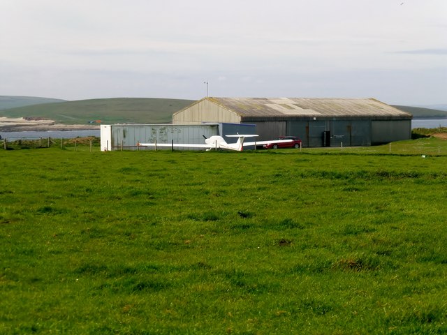
Lamb Holm island top is in a pasture field close to the airfield.
 Map © Crown Copyright")
TIP: Click the map for more Large scale mapping
- Grid Square
- HY4800, 157 images (more nearby 🔍)
- Photographer
- Rude Health (more nearby)
- Date Taken
- Sunday, 1 June, 2014 (more nearby)
- Submitted
- Sunday, 8 March, 2015
- Subject Location
-
OSGB36:
 HY 4865 0022 [10m precision]
WGS84: 58:53.1748N 2:53.5541W - Camera Location
-
OSGB36: HY 4867 0022
- View Direction
- WEST (about 270 degrees)