2015
TQ2681 : Paddington Basin
taken 9 years ago, near to Paddington, Westminster, England
This is 1 of 38 images, with title Paddington Basin in this square
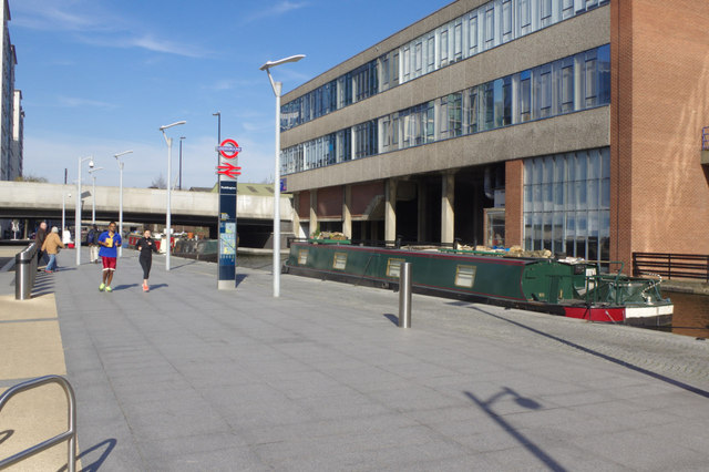
Paddington Basin
This area has been completely transformed in recent years, the new entrance to Paddington Station and the Underground's Hammersmith & City Line station giving access to an open space with the added attraction of narrowboats. For boaters there are visitor moorings here on the Paddington Arm of the Grand Union Canal.
 Map © Crown Copyright")
TIP: Click the map for more Large scale mapping
- Grid Square
- TQ2681, 1897 images (more nearby 🔍)
- Photographer
- Stephen McKay (more nearby)
- Date Taken
- Saturday, 7 March, 2015 (more nearby)
- Submitted
- Sunday, 8 March, 2015
- Subject Location
-
OSGB36:
 TQ 2651 8153 [10m precision]
WGS84: 51:31.1119N 0:10.6837W - Camera Location
-
OSGB36: TQ 2652 8151
- View Direction
- Northwest (about 315 degrees)