2015

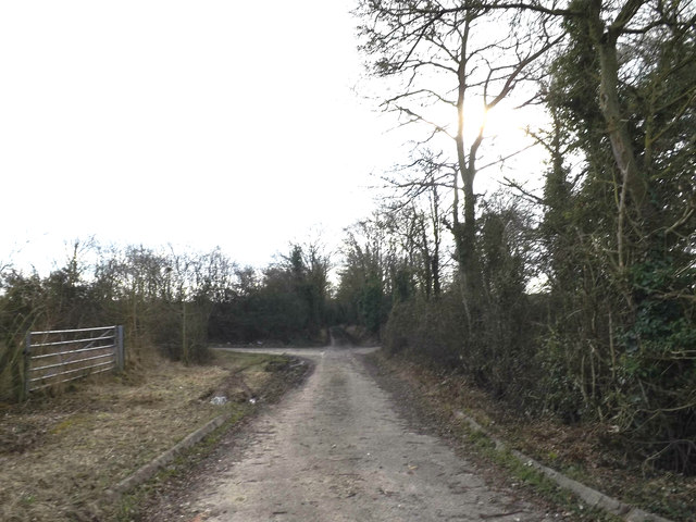
TM1077 : Dam Lane, Thrandeston

taken 9 years ago, near to Thrandeston, Suffolk, England

This is 1 of 8 images, with title Dam Lane, Thrandeston in this square
Dam Lane, Thrandeston
At the junction with the A143 Old Bury Road

Creative Commons Licence [Some Rights Reserved]   © Copyright Geographer and licensed for reuse under this Creative Commons Licence.
Geographical Context: Roads, Road transport At: Thrandeston Primary Subject: Track other tags: Dam Lane A143 Old Bury Road Road Junction A143 Old Bury Road Click a tag, to view other nearby images.
This photo is linked from: Automatic Clusters: · Thrandeston [21] · A143 Old Bury Road [18] · Dam Lane [13] · Junction with the A143 Old Bury Road [11] Title Clusters: · Dam Lane, Thrandeston [8] ·
1:50,000 Modern Day Landranger(TM) Map © Crown Copyright
+
1:50,000 Modern Day Landranger(TM) Map © Crown Copyright
TIP: Click the map for more Large scale mapping
Grid Square
TM1077, 43 images   (more nearby 🔍)
Photographer
Geographer   (more nearby)
Date Taken
Tuesday, 3 March, 2015   (more nearby)
Submitted
Thursday, 12 March, 2015
Subject Location
OSGB36: geotagged! TM 10349 77189 [1m precision]
WGS84: 52:21.1435N 1:5.2336E
Camera Location
OSGB36: geotagged! TM 10349 77189
View Direction
South-southwest (about 202 degrees)
Clickable map
+
NW N NE
W Go E
SW S SE
Image classification(about): Geograph
This page has been viewed about 14 times
You are not logged in login | register