2014
SJ9075 : River Bollin
taken 12 years ago, near to Prestbury, Cheshire East, England
This is 1 of 2 images, with title River Bollin in this square
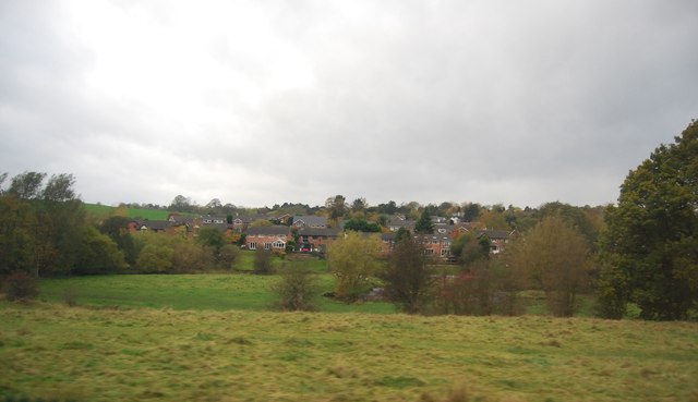
River Bollin
The River Bollin is a major tributary of the River Mersey in the north-west of England.
It rises in Macclesfield Forest at the western end of the Peak District, and can be seen in spring form, from the Buxton to Macclesfield road. The stream then descends the 10 miles through Macclesfield and Wilmslow where it has a confluence with the River Dean, near to Styal Prison. For the following 10 miles it defines the southwestern portion of the border between Greater Manchester and Cheshire before merging with the River Mersey north of Lymm. It flows through the Styal country park and was used in the cotton calico factory there, Quarry Bank Mill, as a source of power. Near to the Quarry Bank Mill site there is a natural weir. The Bollin is culverted underneath the southern runway of Manchester Airport.
See other images of River Bollin


TIP: Click the map for more Large scale mapping
- Grid Square
- SJ9075, 12 images (more nearby 🔍)
- Photographer
- N Chadwick (more nearby)
- Date Taken
- Monday, 27 October, 2014 (more nearby)
- Submitted
- Friday, 13 March, 2015
- Subject Location
-
OSGB36:
 SJ 9039 7597
[10m precision]
WGS84: 53:16.8370N 2:8.7353W - Camera Location
-
OSGB36:
SJ 9049 7597
- View Direction
- WEST (about 270 degrees)


