2015
SE2946 : Ruined structure alongside Weeton Lane
taken 9 years ago, near to Weeton, North Yorkshire, England
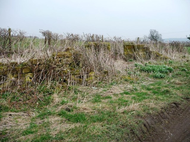
Ruined structure alongside Weeton Lane
Close to the junction with Green Lane. Perhaps once an animal fold?
 Map © Crown Copyright")
TIP: Click the map for more Large scale mapping
- Grid Square
- SE2946, 26 images (more nearby 🔍)
- Photographer
- Christine Johnstone (more nearby)
- Date Taken
- Tuesday, 17 March, 2015 (more nearby)
- Submitted
- Thursday, 19 March, 2015
- Subject Location
-
OSGB36:
 SE 2960 4696 [10m precision]
WGS84: 53:55.0766N 1:33.0490W - Camera Location
-
OSGB36: SE 2958 4696
- View Direction
- EAST (about 90 degrees)