2015
TQ3286 : Lodge seen from the entrance to Clissold Park
taken 9 years ago, near to Stoke Newington, Hackney, England
Lodge seen from the entrance to Clissold Park
The mansion in Clissold Park dates from the 1790s. It was then known as Paradise House and was the home of the Crawshays and later of the Reverend Augustus Clissold. The Reverend Clissold fell in love with Eliza Crawshay, one of Mr Crawshay's two daughters, a match of which Mr Crawshay violently disapproved. Apparently Crawshay hated parsons and also had a violent temper. The local curate was banned from the house but the couple continued to communicate via messengers whom Crawshay then threatened to shoot. Eventually old Mr Crawshay died and the couple married so that Clissold became the owner of Paradise House, promptly changing the name to Clissold House and the grounds became Clissold's Park.
After Clissold's death, the property went to another member of the Crawshay family who sold his interest in the estate to the Ecclesiastical Commissioners who had plans to subdivide the land for building. An influential local committee fought for three years to keep the estate as open space for the public. They finally persuaded the Metropolitan Board of Works to acquire the park in 1887. Clissold Park was formally opened to the public by the first chairman of the London County Council, the Earl of Rosebery, on 24th July 1889.
The two ornamental lakes were originally dug to make bricks for the mansion. They had been filled in but on the campaign to save the park succeeding, they were immediately re-excavated. They are actually on the line of the Hackney Brook, one of London's lost rivers which now runs underground. Up until the late 1830s, the Hackney Brook was a substantial river, 30 feet wide wide in full flood here at Stoke Newington. It eventually flowed into the River Lea - see Link for more information.
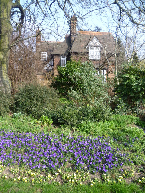
This lodge for a park keeper is near the north-western entrance on Green Lanes and is seen here from Green Lanes.
After Clissold's death, the property went to another member of the Crawshay family who sold his interest in the estate to the Ecclesiastical Commissioners who had plans to subdivide the land for building. An influential local committee fought for three years to keep the estate as open space for the public. They finally persuaded the Metropolitan Board of Works to acquire the park in 1887. Clissold Park was formally opened to the public by the first chairman of the London County Council, the Earl of Rosebery, on 24th July 1889.
The two ornamental lakes were originally dug to make bricks for the mansion. They had been filled in but on the campaign to save the park succeeding, they were immediately re-excavated. They are actually on the line of the Hackney Brook, one of London's lost rivers which now runs underground. Up until the late 1830s, the Hackney Brook was a substantial river, 30 feet wide wide in full flood here at Stoke Newington. It eventually flowed into the River Lea - see Link
This lodge for a park keeper is near the north-western entrance on Green Lanes and is seen here from Green Lanes.
 Map © Crown Copyright")
TIP: Click the map for more Large scale mapping
- Grid Square
- TQ3286, 404 images (more nearby 🔍)
- Photographer
- Marathon (more nearby)
- Date Taken
- Wednesday, 18 March, 2015 (more nearby)
- Submitted
- Thursday, 19 March, 2015
- Subject Location
-
OSGB36:
 TQ 3238 8660 [10m precision]
WGS84: 51:33.7650N 0:5.4963W - Camera Location
-
OSGB36: TQ 3236 8659
- View Direction
- East-northeast (about 67 degrees)