2014
NS5745 : Whitelee Forest
taken 9 years ago, near to Crook Hill [other Features], East Ayrshire, Great Britain
This is 1 of 2 images, with title Whitelee Forest in this square
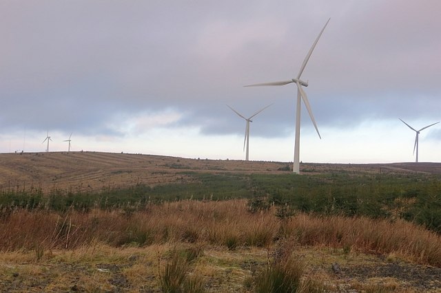
Whitelee Forest
Looking towards Dumduff Hill.
 Map © Crown Copyright")
TIP: Click the map for more Large scale mapping
- Grid Square
- NS5745, 5 images (more nearby 🔍)
- Photographer
- Richard Webb (more nearby)
- Date Taken
- Monday, 29 December, 2014 (more nearby)
- Submitted
- Sunday, 22 March, 2015
- Subject Location
-
OSGB36:
 NS 5763 4517 [10m precision]
WGS84: 55:40.7443N 4:15.9440W - Camera Location
-
OSGB36: NS 5749 4504
- View Direction
- Northeast (about 45 degrees)