2015
NZ2042 : Path at southern edge of Rag Path Wood
taken 9 years ago, near to Esh Winning, County Durham, England
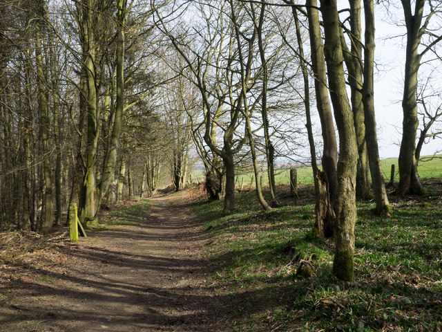
Path at southern edge of Rag Path Wood
Rag Path Wood is a narrow belt of woodland on the southern slope of the River Deerness; it's owned and/or managed by The Woodland Trust.
 Map © Crown Copyright")
TIP: Click the map for more Large scale mapping
- Grid Square
- NZ2042, 13 images (more nearby 🔍)
- Photographer
- Trevor Littlewood (more nearby)
- Date Taken
- Sunday, 22 March, 2015 (more nearby)
- Submitted
- Sunday, 22 March, 2015
- Subject Location
-
OSGB36:
 NZ 2065 4217 [10m precision]
WGS84: 54:46.4416N 1:40.8311W - Camera Location
-
OSGB36: NZ 2057 4214
- View Direction
- East-northeast (about 67 degrees)