2015
SO6931 : Daffodil Way near Shakesfield
taken 9 years ago, near to Dymock, Gloucestershire, England
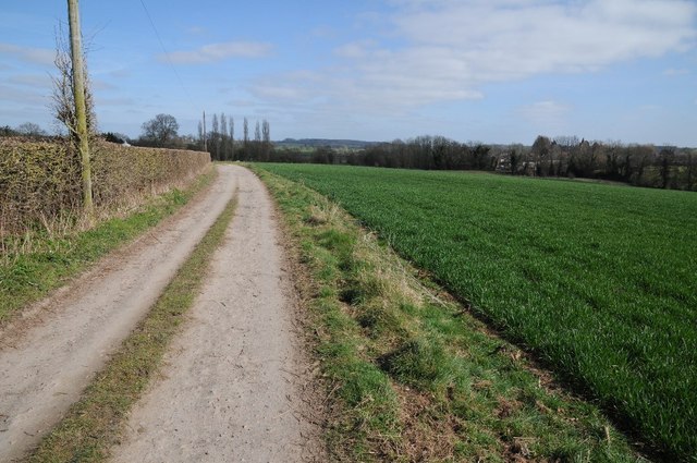
Daffodil Way near Shakesfield
Daffodil Way near Shakesfield following a farm road to Allum's Farm near Dymock.
 Map © Crown Copyright")
TIP: Click the map for more Large scale mapping
- Grid Square
- SO6931, 115 images (more nearby 🔍)
- Photographer
- Philip Halling (more nearby)
- Date Taken
- Sunday, 22 March, 2015 (more nearby)
- Submitted
- Friday, 27 March, 2015
- Subject Location
-
OSGB36:
 SO 6951 3160 [10m precision]
WGS84: 51:58.9210N 2:26.7212W - Camera Location
-
OSGB36: SO 6945 3159
- View Direction
- EAST (about 90 degrees)