2015
SO6630 : Arable land beside Kempley Brook
taken 9 years ago, near to Kempley, Gloucestershire, England
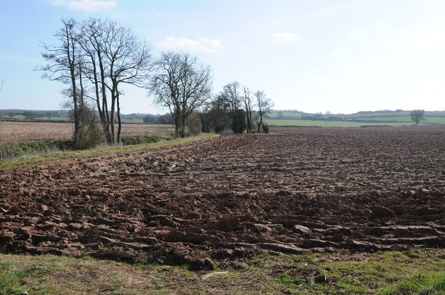
Arable land beside Kempley Brook
The Daffodil Way follows Kempley Brook to the left of this ploughed field.
 Map © Crown Copyright")
TIP: Click the map for more Large scale mapping
- Grid Square
- SO6630, 27 images (more nearby 🔍)
- Photographer
- Philip Halling (more nearby)
- Date Taken
- Sunday, 22 March, 2015 (more nearby)
- Submitted
- Monday, 30 March, 2015
- Subject Location
-
OSGB36:
 SO 6657 3080 [10m precision]
WGS84: 51:58.4793N 2:29.2848W - Camera Location
-
OSGB36: SO 6660 3085
- View Direction
- South-southwest (about 202 degrees)