2015
NZ3802 : Anonymous lane at a 73 metre spot height
taken 9 years ago, near to Deighton, North Yorkshire, England
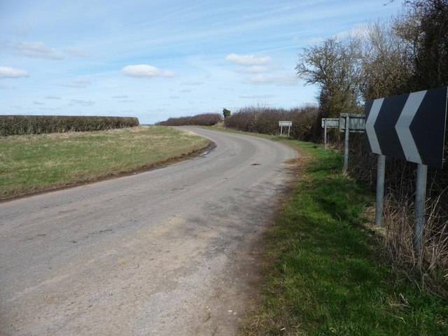
Anonymous lane at a 73 metre spot height
Bending northwards to rejoin the route of a Roman road.
 Map © Crown Copyright")
TIP: Click the map for more Large scale mapping
- Grid Square
- NZ3802, 18 images (more nearby 🔍)
- Photographer
- Christine Johnstone (more nearby)
- Date Taken
- Thursday, 2 April, 2015 (more nearby)
- Submitted
- Sunday, 5 April, 2015
- Subject Location
-
OSGB36:
 NZ 3849 0235 [10m precision]
WGS84: 54:24.9088N 1:24.5049W - Camera Location
-
OSGB36: NZ 3848 0233
- View Direction
- North-northeast (about 22 degrees)