2015
NZ3962 : Footpath near Cleadon
taken 9 years ago, near to Cleadon, South Tyneside, England
This is 1 of 3 images, with title Footpath near Cleadon in this square
Footpath near Cleadon
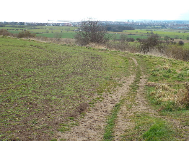
A footpath near the village of Cleadon in South Tyneside. This view looks south east, towards the city of Sunderland. Towards the top left of the image are the piers which protect the mouth of the River Wear as it flows out into the North Sea.
 Map © Crown Copyright")
TIP: Click the map for more Large scale mapping
- Grid Square
- NZ3962, 25 images (more nearby 🔍)
- Photographer
- Malc McDonald (more nearby)
- Date Taken
- Saturday, 4 April, 2015 (more nearby)
- Submitted
- Wednesday, 8 April, 2015
- Subject Location
-
OSGB36:
 NZ 3926 6285 [10m precision]
WGS84: 54:57.5249N 1:23.3061W - Camera Location
-
OSGB36: NZ 3924 6286
- View Direction
- Southeast (about 135 degrees)