2015
NZ3962 : Footpath near Cleadon
taken 9 years ago, near to Cleadon, South Tyneside, England
This is 1 of 3 images, with title Footpath near Cleadon in this square
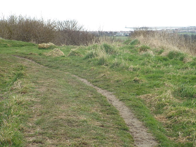
Footpath near Cleadon
A public footpath near Cleadon, in South Tyneside. Visible in the distance are the piers which guard the mouth of the River Wear as it flows out into the North Sea. Roker lighthouse stands at the end of one of the piers - see NZ4158 : Roker Pier, Sunderland for a close-up image of the pier and lighthouse.
 Map © Crown Copyright")
TIP: Click the map for more Large scale mapping
- Grid Square
- NZ3962, 25 images (more nearby 🔍)
- Photographer
- Malc McDonald (more nearby)
- Date Taken
- Saturday, 4 April, 2015 (more nearby)
- Submitted
- Wednesday, 8 April, 2015
- Subject Location
-
OSGB36:
 NZ 3922 6287 [10m precision]
WGS84: 54:57.5359N 1:23.3434W - Camera Location
-
OSGB36: NZ 3922 6288
- View Direction
- South-southeast (about 157 degrees)