2015
J1996 : Speerstown Road
taken 9 years ago, 5 km E of "kells Connor", Co Antrim, Northern Ireland
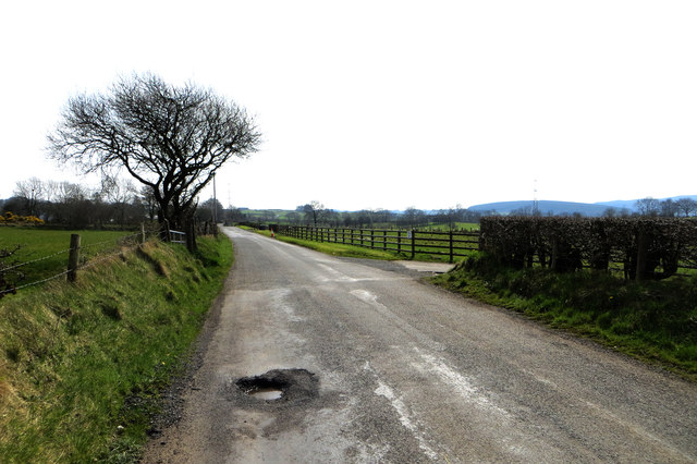
Speerstown Road
A pothole lies in wait ready to catch the unwary and inattentive cyclist with his mind more on geographing than on watching where he is going.
Loading map... (JavaScript required)
- Grid Square
- J1996, 2 images (more nearby 🔍)
- Photographer
- Robert Ashby (more nearby)
- Date Taken
- Wednesday, 8 April, 2015 (more nearby)
- Submitted
- Friday, 10 April, 2015
- Subject Location
-
Irish:
 J 195 968 [100m precision]
WGS84: 54:48.3364N 6:8.5113W - Camera Location
-
Irish: J 195 967
- View Direction
- NORTH (about 0 degrees)