2014
TQ1932 : B2195
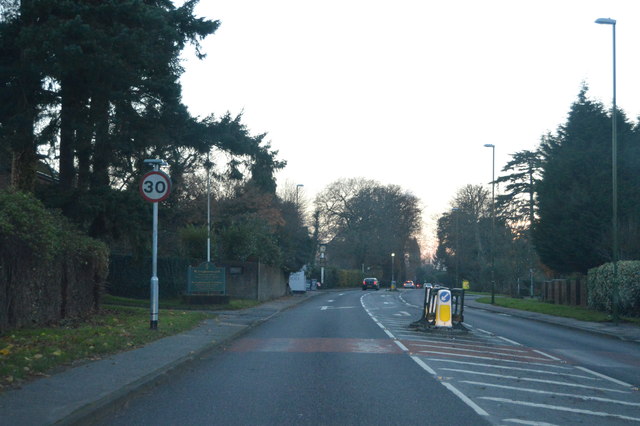
taken 9 years ago, near to Roffey, West Sussex, England
This is 1 of 2 images, with title B2195 in this square
B2195
A 2.5 mile long road in Horsham.
The B2195 starts at a traffic-light-controlled junction with the A281, Park Way, in the centre of Horsham, West Sussex. From here it goes along North Street, Harwood Road, and Crawley Road to terminate on the A264 at Moorhead Roundabout, on the north-eastern edge of the town.
See other images of B2195 Road
 Map © Crown Copyright")
TIP: Click the map for more Large scale mapping
- Grid Square
- TQ1932, 139 images (more nearby 🔍)
- Photographer
- N Chadwick (more nearby)
- Date Taken
- Sunday, 30 November, 2014 (more nearby)
- Submitted
- Sunday, 12 April, 2015
- Subject Location
-
OSGB36:
 TQ 1968 3228 [10m precision]
WGS84: 51:4.6424N 0:17.5769W - Camera Location
-
OSGB36: TQ 1971 3231
- View Direction
- Southwest (about 225 degrees)