2009
TG3815 : River Bure and St Benet's Abbey
taken 14 years ago, near to Upper Street, Norfolk, England
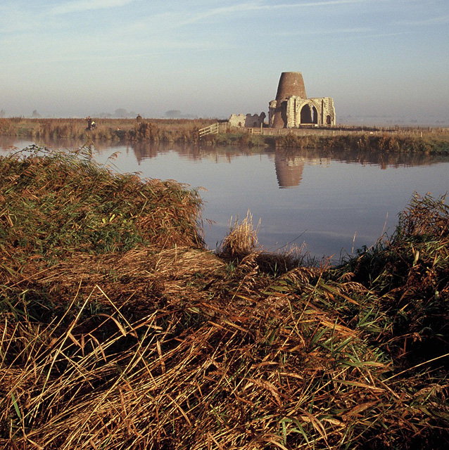
River Bure and St Benet's Abbey
Looking across the river to the ruined gatehouse and mill, on a misty morning.
 Map © Crown Copyright")
TIP: Click the map for more Large scale mapping
- Grid Square
- TG3815, 99 images (more nearby 🔍)
- Photographer
- Ian Taylor (more nearby)
- Date Taken
- Thursday, 29 October, 2009 (more nearby)
- Submitted
- Thursday, 16 April, 2015
- Subject Location
-
OSGB36:
 TG 3803 1569 [10m precision]
WGS84: 52:41.1935N 1:31.2264E - Camera Location
-
OSGB36: TG 3803 1565
- View Direction
- NORTH (about 0 degrees)