2015
TM0361 : Dagworth Lane, Dagworth
taken 9 years ago, near to Haughley, Suffolk, England
This is 1 of 3 images, with title Dagworth Lane, Dagworth in this square
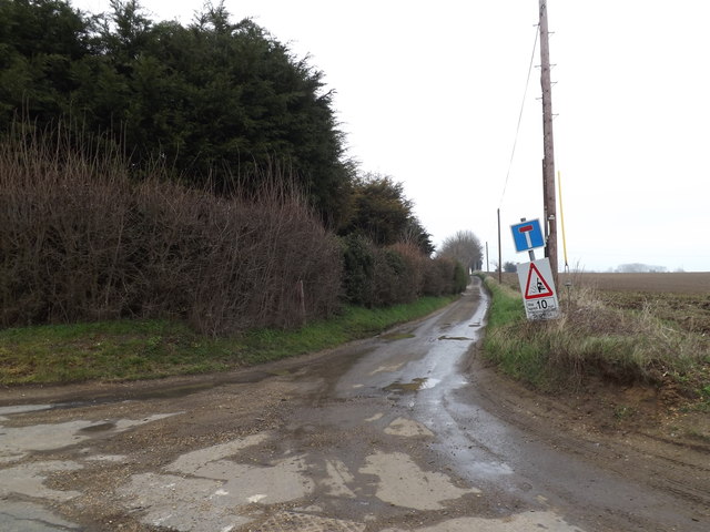
Dagworth Lane, Dagworth
At the junction with Fishponds Way
 Map © Crown Copyright")
TIP: Click the map for more Large scale mapping
- Grid Square
- TM0361, 31 images (more nearby 🔍)
- Photographer
- Geographer (more nearby)
- Date Taken
- Friday, 3 April, 2015 (more nearby)
- Submitted
- Friday, 17 April, 2015
- Subject Location
-
OSGB36:
 TM 03331 61273 [1m precision]
WGS84: 52:12.7286N 0:58.4844E - Camera Location
-
OSGB36: TM 03331 61273
- View Direction
- East-northeast (about 67 degrees)