2015
SD6178 : Stanley Bridge, Kirkby Lonsdale
taken 11 years ago, near to Kirkby Lonsdale, Cumbria, England
This is 1 of 9 images, with title Stanley Bridge, Kirkby Lonsdale in this square
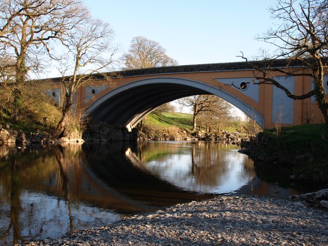
Stanley Bridge, Kirkby Lonsdale
Stanley Bridge built in the 1930s to carry the ever increasing traffic over the river Lune at Kirkby Lonsdale, replacing the much older Devil’s Bridge which was then closed to vehicles.


TIP: Click the map for more Large scale mapping
- Grid Square
- SD6178, 836 images (more nearby 🔍)
- Photographer
- Steve Houldsworth (more nearby)
- Date Taken
- Saturday, 18 April, 2015 (more nearby)
- Submitted
- Sunday, 19 April, 2015
- Subject Location
-
OSGB36:
 SD 6154 7811
[10m precision]
WGS84: 54:11.8377N 2:35.4604W - Camera Location
-
OSGB36:
SD 6152 7816
- View Direction
- South-southeast (about 157 degrees)


