2015
SX5351 : Landslip into lane near Fordbrook Farm
taken 9 years ago, near to Elburton, Plymouth, England
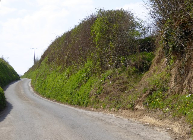
Landslip into lane near Fordbrook Farm
The bank had collapsed into the passing bay
 Map © Crown Copyright")
TIP: Click the map for more Large scale mapping
- Grid Square
- SX5351, 29 images (more nearby 🔍)
- Photographer
- David Smith (more nearby)
- Date Taken
- Thursday, 16 April, 2015 (more nearby)
- Submitted
- Sunday, 19 April, 2015
- Subject Location
-
OSGB36:
 SX 5371 5194 [10m precision]
WGS84: 50:20.9493N 4:3.4528W - Camera Location
-
OSGB36: SX 5373 5195
- View Direction
- West-southwest (about 247 degrees)