2015

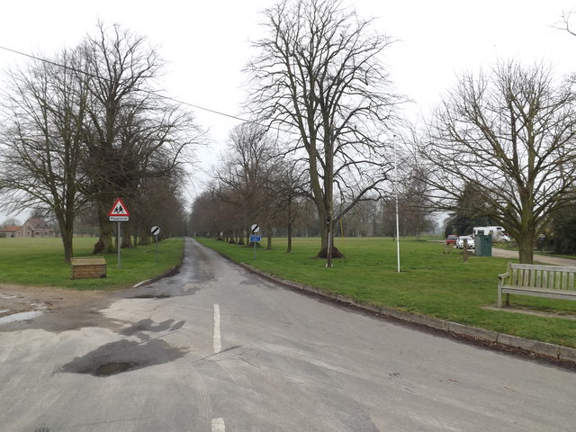
TM0160 : Cutlers Lane, Harleston

taken 9 years ago, near to Harleston, Suffolk, England

Cutlers Lane, Harleston
At the junction with Haughley and Forest Roads

Creative Commons Licence [Some Rights Reserved]   © Copyright Geographer and licensed for reuse under this Creative Commons Licence.
Geographical Context: Roads, Road transport At: Harleston Primary Subject: Lane other tags: Haughley Road Cutlers Lane Forest Road Road Junction Click a tag, to view other nearby images.
This photo is linked from: Automatic Clusters: · Cutler's Lane [18] ·
1:50,000 Modern Day Landranger(TM) Map © Crown Copyright
+
1:50,000 Modern Day Landranger(TM) Map © Crown Copyright
TIP: Click the map for more Large scale mapping
Grid Square
TM0160, 59 images   (more nearby 🔍)
Photographer
Geographer   (more nearby)
Date Taken
Friday, 3 April, 2015   (more nearby)
Submitted
Sunday, 19 April, 2015
Subject Location
OSGB36: geotagged! TM 01303 60058 [1m precision]
WGS84: 52:12.1187N 0:56.6626E
Camera Location
OSGB36: geotagged! TM 01303 60058
View Direction
West-southwest (about 247 degrees)
Clickable map
+
NW N NE
W Go E
SW S SE
Image classification(about): Geograph
This page has been viewed about 13 times
You are not logged in login | register