2015
NY8034 : Into enclosed land
taken 9 years ago, near to Harwood, County Durham, England
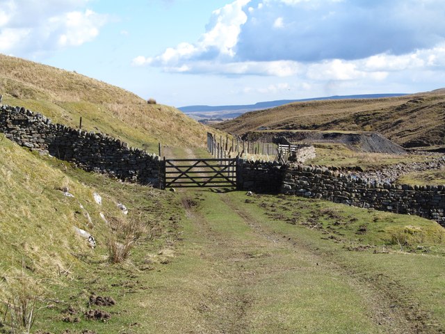
Into enclosed land
After a longish tramp on moorland tracks and paths unencumbered by walls and fences, one reaches the beginning of enclosed land and cultivated fields at this point despite still being around 470m above sea level. Ahead is a prominent spoil tip, part of the former Lady Rake Mine.
 Map © Crown Copyright")
TIP: Click the map for more Large scale mapping
- Grid Square
- NY8034, 25 images (more nearby 🔍)
- Photographer
- Gordon Hatton (more nearby)
- Date Taken
- Sunday, 5 April, 2015 (more nearby)
- Submitted
- Tuesday, 21 April, 2015
- Subject Location
-
OSGB36:
 NY 8043 3433 [10m precision]
WGS84: 54:42.2165N 2:18.3125W - Camera Location
-
OSGB36: NY 8040 3436
- View Direction
- Southeast (about 135 degrees)