2015

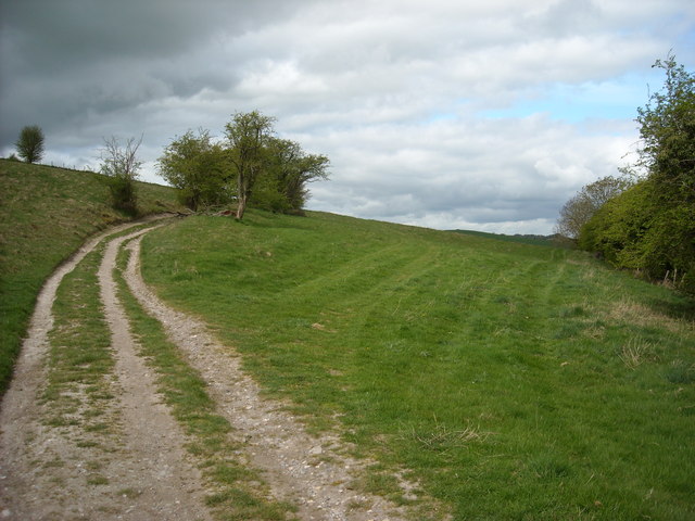
SU1874 : Ridgeway, Coombe Down

taken 9 years ago, near to Ogbourne st George, Wiltshire, England

Ridgeway, Coombe Down
The Ridgeway National Trail LinkExternal link west of Ogbourne St George.

Creative Commons Licence [Some Rights Reserved]   © Copyright Vieve Forward and licensed for reuse under this Creative Commons Licence.
Geographical Context: Paths Roads, Road transport other tags: Long Distance Path Ridgeway National Trail Click a tag, to view other nearby images.
This photo is linked from: Automatic Clusters: · Ridgeway below Coombe [7] · Ridgeway National Trail [3] · West of Ogbourne St [2] ·
1:50,000 Modern Day Landranger(TM) Map © Crown Copyright
+
+
1:50,000 Modern Day Landranger(TM) Map © Crown Copyright
TIP: Click the map for more Large scale mapping
Grid Square
SU1874, 23 images   (more nearby 🔍)
Photographer
Vieve Forward   (more nearby)
Date Taken
Saturday, 25 April, 2015   (more nearby)
Submitted
Monday, 27 April, 2015
Subject Location
OSGB36: geotagged! SU 1863 7474 [10m precision]
WGS84: 51:28.2793N 1:43.9903W
Camera Location
OSGB36: geotagged! SU 1887 7465
View Direction
West-northwest (about 292 degrees)
Clickable map
+
NW N NE
W Go E
SW S SE
Image classification(about): Geograph
This page has been viewed about 20 times
You are not logged in login | register