2015
SU3403 : Perrywood Haseley Inclosure, embankment & ditch
taken 9 years ago, 4 km WNW of Furzey Lodge, Hampshire, England
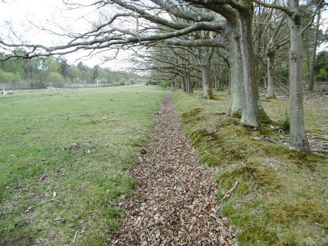
Perrywood Haseley Inclosure, embankment & ditch
 Map © Crown Copyright")
TIP: Click the map for more Large scale mapping
- Grid Square
- SU3403, 32 images (more nearby 🔍)
- Photographer
- Mike Faherty (more nearby)
- Date Taken
- Tuesday, 28 April, 2015 (more nearby)
- Submitted
- Tuesday, 28 April, 2015
- Subject Location
-
OSGB36:
 SU 3428 0373 [10m precision]
WGS84: 50:49.9257N 1:30.8763W - Camera Location
-
OSGB36: SU 3428 0373
- View Direction
- WEST (about 270 degrees)