2015
ST1717 : Road on Buckland Hill
taken 9 years ago, near to Blackmoor, Somerset, England
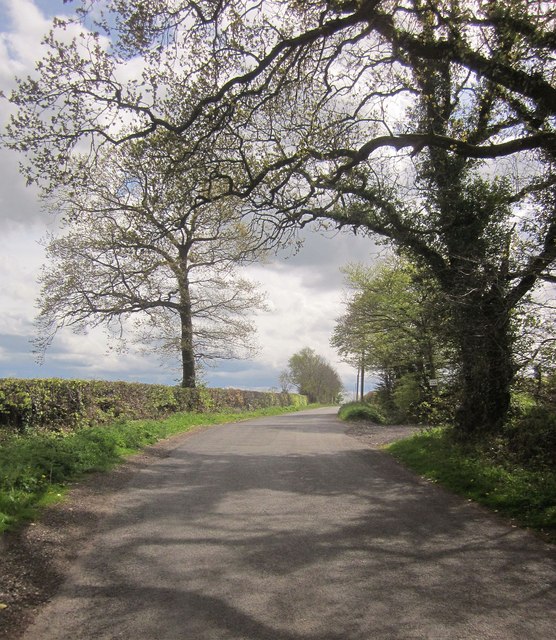
Road on Buckland Hill
From the bend where ST1717 : Road through Buckland Wood was taken, a view along the road as it gains the plateau summit, with the turn to Trees Farm a few metres ahead.
 Map © Crown Copyright")
TIP: Click the map for more Large scale mapping
- Grid Square
- ST1717, 19 images (more nearby 🔍)
- Photographer
- Derek Harper (more nearby)
- Date Taken
- Tuesday, 28 April, 2015 (more nearby)
- Submitted
- Saturday, 2 May, 2015
- Subject Location
-
OSGB36:
 ST 1743 1751 [10m precision]
WGS84: 50:57.0652N 3:10.6104W - Camera Location
-
OSGB36: ST 1745 1756
- View Direction
- South-southwest (about 202 degrees)