2015
HU4687 : Burn of Dalamut, near West Sandwick
taken 9 years ago, near to West Sandwick, Mainland, Shetland Islands, Scotland
This is 1 of 3 images, with title Burn of Dalamut, near West Sandwick in this square
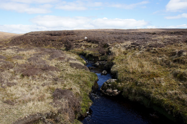
Burn of Dalamut, near West Sandwick
Looking upstream and towards the Kame of Sandwick.
 Map © Crown Copyright")
TIP: Click the map for more Large scale mapping
- Grid Square
- HU4687, 5 images (more nearby 🔍)
- Photographer
- Mike Pennington (more nearby)
- Date Taken
- Saturday, 2 May, 2015 (more nearby)
- Submitted
- Saturday, 2 May, 2015
- Subject Location
-
OSGB36:
 HU 4605 8797 [10m precision]
WGS84: 60:34.3548N 1:9.7009W - Camera Location
-
OSGB36: HU 4601 8798
- View Direction
- East-southeast (about 112 degrees)