2014
SK1384 : Hollins from above
taken 10 years ago, near to Edale, Derbyshire, England
This is 1 of 15 images, with title starting with Hollins in this square
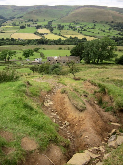
Hollins from above
This looks down the section of eroded path (footpath HP11 17/1) seen in SK1384 : Badly eroded path. The listed farm at Hollins is shown at Link . Below is the Vale of Edale.
 Map © Crown Copyright")
TIP: Click the map for more Large scale mapping
- Grid Square
- SK1384, 144 images (more nearby 🔍)
- Photographer
- Derek Harper (more nearby)
- Date Taken
- Tuesday, 8 July, 2014 (more nearby)
- Submitted
- Sunday, 3 May, 2015
- Subject Location
-
OSGB36:
 SK 1322 8477 [10m precision]
WGS84: 53:21.5787N 1:48.1695W - Camera Location
-
OSGB36: SK 1324 8466
- View Direction
- NORTH (about 0 degrees)