2015
SH5569 : National Cycle Route 5
taken 9 years ago, near to Menai Bridge, Isle of Anglesey/Sir Ynys Mon, Wales
This is 1 of 2 images, with title National Cycle Route 5 in this square
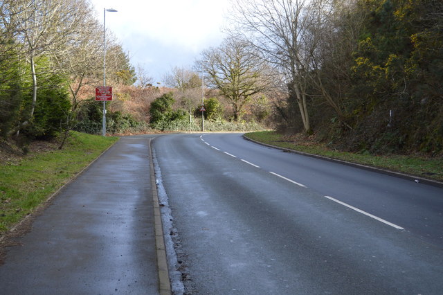
National Cycle Route 5
National Route 5 of the National Cycle Network is a long distance route which when complete will connect Reading and Holyhead via Oxford, Banbury, Stratford-upon-Avon, Redditch, Bromsgrove, Birmingham, Walsall, Stafford, Stoke-on-Trent, Chester, Colwyn Bay and Bangor. The southern half of the route between Reading and Walsall is open and signed whilst the northern half between Walsall and Holyhead is still under development.
See other images of National Cycle Route 5
See other images of National Cycle Route 5
 Map © Crown Copyright")
TIP: Click the map for more Large scale mapping
- Grid Square
- SH5569, 29 images (more nearby 🔍)
- Photographer
- N Chadwick (more nearby)
- Date Taken
- Saturday, 21 February, 2015 (more nearby)
- Submitted
- Monday, 11 May, 2015
- Subject Location
-
OSGB36:
 SH 5501 6997 [10m precision]
WGS84: 53:12.4179N 4:10.3443W - Camera Location
-
OSGB36: SH 5504 6998
- View Direction
- WEST (about 270 degrees)