2015
NC8824 : Forest boundary, Learable Hill, Sutherland
taken 9 years ago, 5 km N of Craggie, Highland, Scotland
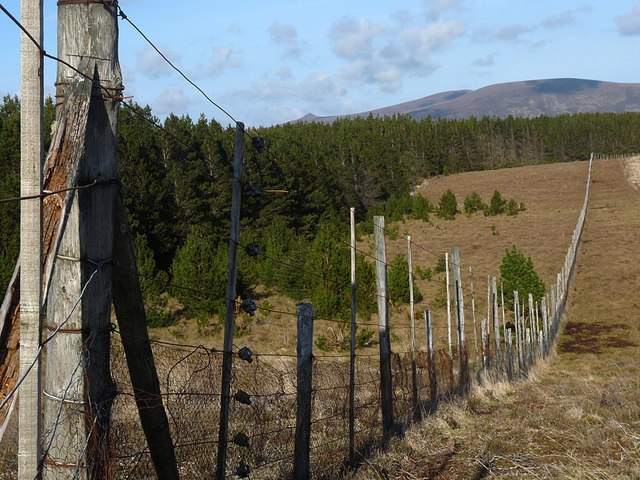
Forest boundary, Learable Hill, Sutherland
This fence runs along the southern boundary of an area of forestry within the Borrobol Estate.
 Map © Crown Copyright")
TIP: Click the map for more Large scale mapping
- Grid Square
- NC8824, 2 images (more nearby 🔍)
- Photographer
- Claire Pegrum (more nearby)
- Date Taken
- Friday, 8 May, 2015 (more nearby)
- Submitted
- Monday, 11 May, 2015
- Subject Location
-
OSGB36:
 NC 88074 24575 [1m precision]
WGS84: 58:11.7441N 3:54.3442W - Camera Location
-
OSGB36: NC 88074 24575
- View Direction
- EAST (about 90 degrees)