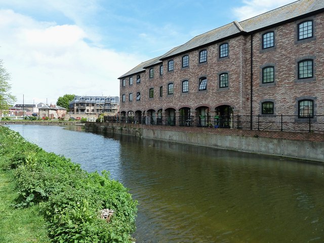
SU8504 : Chichester Ship Canal - Converted warehouses
taken 9 years ago, near to Chichester, West Sussex, England
What is known today as the Chichester Canal is in fact part of the former Portsmouth & Arundel Canal. This was opened in 1823.
In the late 1970s the Portsmouth & Arundel Canal Society was formed with the aim of restoring the canal. By the late 1990s they had reached the junction at Hunston and were working westwards along the main line towards Salterns.
However as work progressed further, the silting became worse, and by the time restoration reached the culverted Crosbie Bridge at Donnington where the road bridge currently forms a barrier to further progress.
Link
The Chichester Canal is part of the Portsmouth and Arundel Canal which linked with other rivers and canals to form an inland waterway route between London and Portsmouth. The Portsmouth and Arundel canal was opened in 1822 and remained in operation as a through route until 1855.
The Chichester section between the harbour and the city was constructed as a ship canal allowing passage for vessels of up to 85 feet in length and 18 feet in width, weighing up to 100 tons. Traffic never reached the expected levels, and ceased entirely after 1906.
After this time, the canal fell in to disrepair and was blocked in 1924/5 to prevent further navigation but sections have recently been restored by The Chichester Ship Canal Trust.
 Map © Crown Copyright")
- Grid Square
- SU8504, 1271 images (more nearby 🔍)
- Photographer
- Rob Farrow (more nearby)
- Date Taken
- Monday, 4 May, 2015 (more nearby)
- Submitted
- Tuesday, 12 May, 2015
- Subject Location
-
OSGB36:
 SU 8596 0404 [10m precision]
WGS84: 50:49.7714N 0:46.8492W - Camera Location
-
OSGB36: SU 8594 0402
- View Direction
- Northeast (about 45 degrees)