TG0703 : Mid Norfolk Railway
taken 9 years ago, near to Kimberley, Norfolk, England
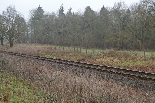
The Mid-Norfolk Railway or MNR is a heritage railway in Norfolk. Re-opening as a tourist line in the mid-1990s, it is often referred to as a "New Generation" heritage railway, especially since the start of preservation in 1974.
The 14-mile line runs through the centre of Norfolk between the market towns of Wymondham and Dereham via Yaxham, Thuxton and Kimberley Park, operating steam and diesel services. The operational line extends northwards from Dereham to Hoe.
It is the southern section of the former Wymondham, Dereham, Fakenham and Wells-next-the-Sea line, opened by the Norfolk Railway in 1847 and closed to passengers in stages from 1964 to 1969 as part of the Beeching cuts. The final section of the line closed to goods traffic in 1989. The northern section of this line has been operated by the Wells and Walsingham Light Railway since 1982.
The MNR is owned and operated by the Mid-Norfolk Railway Preservation Trust (a charitable trust), and is mostly operated and staffed by volunteers.
The line is the fifth longest preserved standard gauge railway in Great Britain.
Wikipedia: Link
The branch line was one of the longest lines in East Anglia, running from Wymondham to Wells next the Sea, through four major Norfolk towns.
 Map © Crown Copyright")
- Grid Square
- TG0703, 68 images (more nearby 🔍)
- Photographer
- N Chadwick (more nearby)
- Date Taken
- Sunday, 18 January, 2015 (more nearby)
- Submitted
- Thursday, 14 May, 2015
- Subject Location
-
OSGB36:
 TG 0732 0341 [10m precision]
WGS84: 52:35.3362N 1:3.5466E - Camera Location
-
OSGB36: TG 0730 0344
- View Direction
- Southeast (about 135 degrees)