NS9961 : West Mains Woodland
taken 9 years ago, near to Addiewell, West Lothian, Scotland
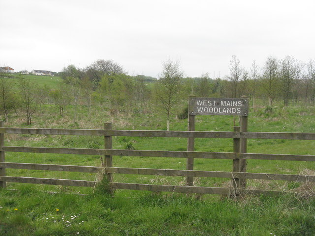
This project, confined to West Lothian, was started in 1994 to allow the development of very low density rural housing and woodland development, by dividing up poorer-quality farms to provide a small number of rural homesteads and, in bleaker areas in need of restoration, pleasant well-wooded landscapes. The scheme applied to whole farms of 40-80 ha [the size of a typical West Lothian small farm], and was essentially intended to be for self-build projects Link
. This handbook is undated, but it was produced ca 2005, and at the time of publication thirteen schemes had been approved. The houses built so far do not look like the normal crofting dwellings that one sees in the north of Scotland. The West Mains Crofts project covers four kilometre squares centred on NT000610.
 Map © Crown Copyright")
- Grid Square
- NS9961, 13 images (more nearby 🔍)
- Photographer
- M J Richardson (more nearby)
- Date Taken
- Friday, 15 May, 2015 (more nearby)
- Submitted
- Saturday, 16 May, 2015
- Subject Location
-
OSGB36:
 NS 9996 6162 [10m precision]
WGS84: 55:50.2437N 3:35.9360W - Camera Location
-
OSGB36: NS 9998 6166
- View Direction
- South-southwest (about 202 degrees)